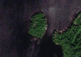
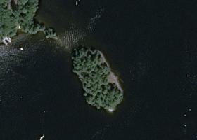
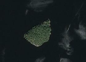
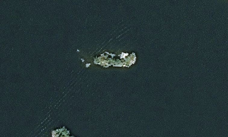
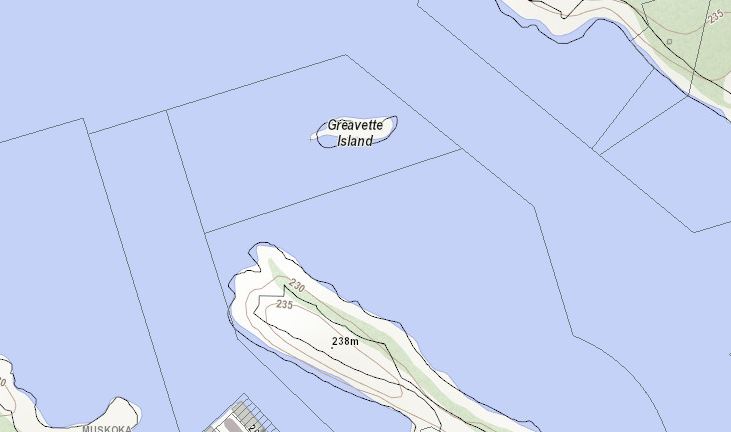
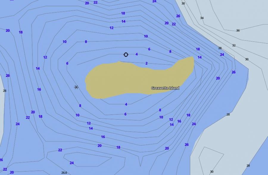
Greavette Island Island on Lake Muskoka
| Official Name | Greavette Island Island |
|---|---|
| Number of Properties on Greavette Island Island | 1 |
| Perimeter of Greavette Island Island | 0.14 km (0.1 miles) |
| Area of Greavette Island Island | 0.09 ha (0.2 acres) |
| Lake | Lake Muskoka |
| District | Muskoka |
| Municipality | Gravenhurst |
| View on Google Earth in 3D | Greavette Island Island on Lake Muskoka in Google Earth |
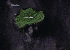
Other Islands in Muskoka